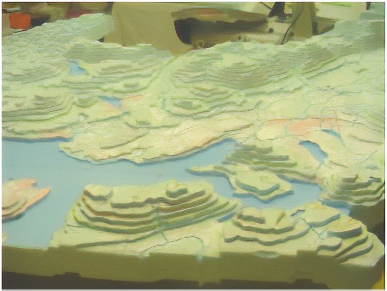
3D Landform Mapping
It took me about six years to develop the land-form building process.
An accurate three dimensional land-form map can be built using basic workshop tools and information from a standard contour map.
The materials are not difficult to obtain and the tools are basic handicraft items. The models are produced from one piece of material with minimal waste. The realistic surface can display a wide variety of information.
The video will outline the innovative method that I developed to build a 3D land-form model


